高尔寺山 · 貢嘎を望む
標高4,412mの高尔寺山峠を越えると、地平線には雪山の王・貢嘎(ミニヤ・コンカ)。そして目もくらむ「天路十八弯」を下って、雅砻江のほとりの雅江へ。
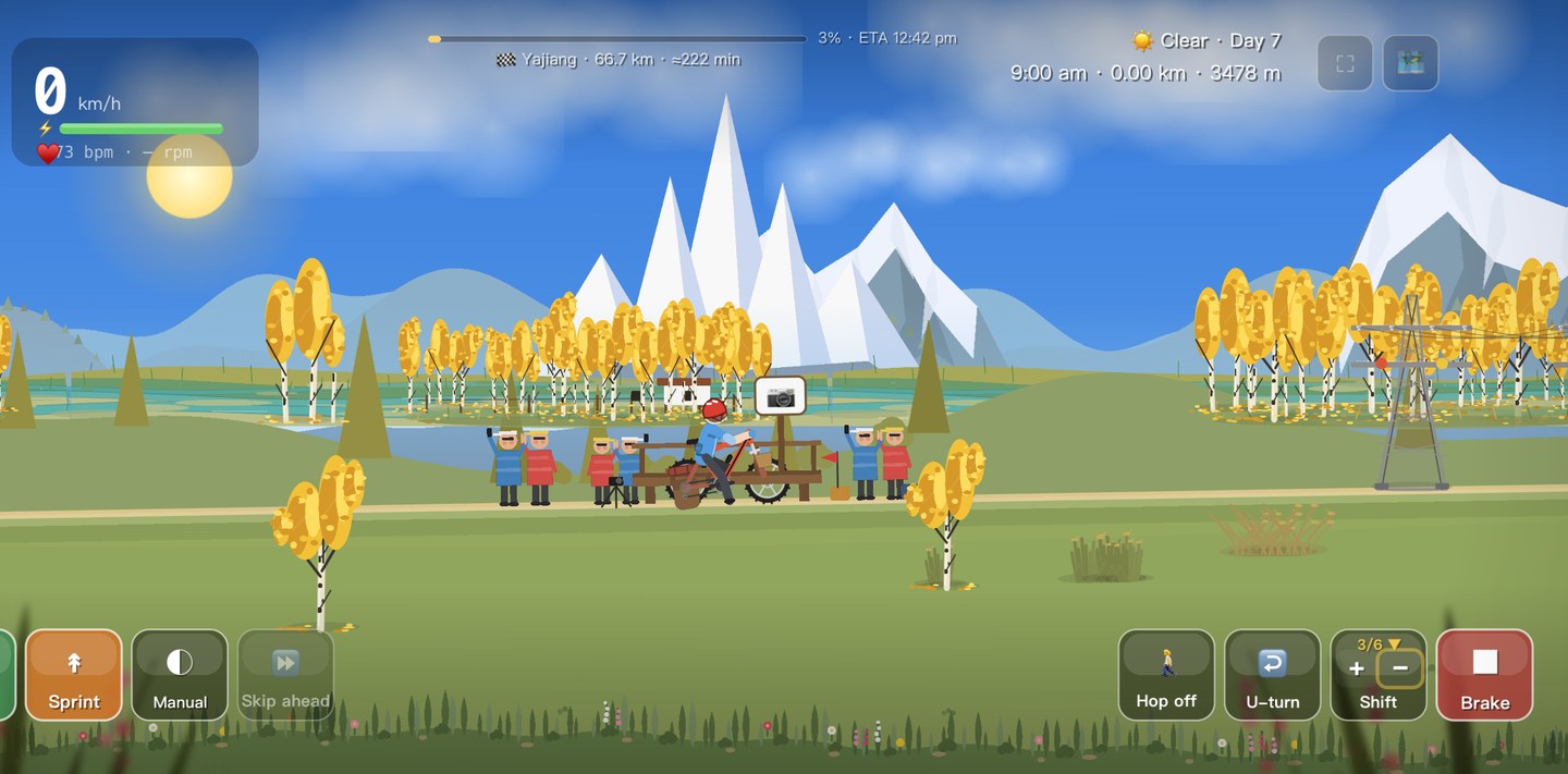
この日の攻略
新都橋から雅江——この区間の路面・食事・宿・装備。
路面 · 走行
Over Gaoersi Mountain (4,412 m, now eased by a tunnel), then a long descent into the Yalong River valley to Yajiang. High-plateau views all morning.
食事 · 補給
Yajiang sits low in the gorge — a warm valley town with simple restaurants; eat and rehydrate before tomorrow’s big climbs.
宿泊
Guesthouses in Yajiang by the river; the lower altitude here helps you sleep before Litang.
装備 · 服装
Big temperature swings — cold on the pass, mild in the valley; layer up and down through the day.
見どころ
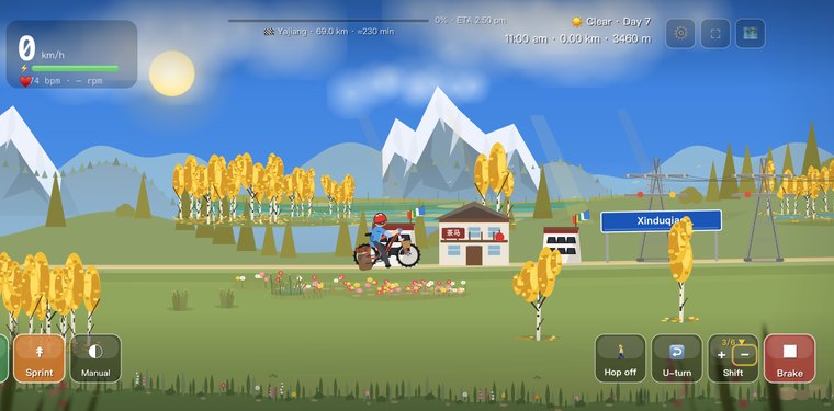
Xinduqiao
The day starts in this high plateau town famous among photographers as the "Light and Shadow Corridor."
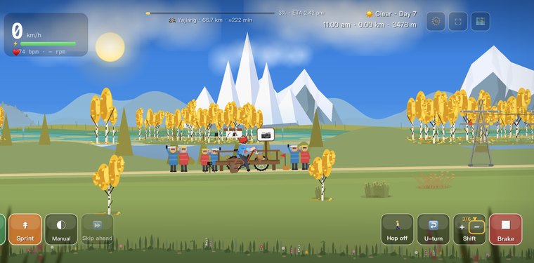
Xinduqiao Light and Shadow Corridor
A poplar-lined valley of Tibetan farmhouses and golden light, beloved by landscape photographers.
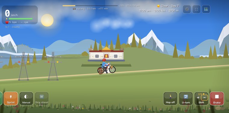
Gaoersi Tunnel
A 5.7 km tunnel bored under Gaoersi Mountain, replacing the old high pass road.
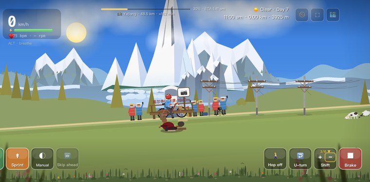
Gaoersi Gongga Viewpoint
A platform on the old pass road where, on a clear day, Gongga's snow crown fills the horizon.
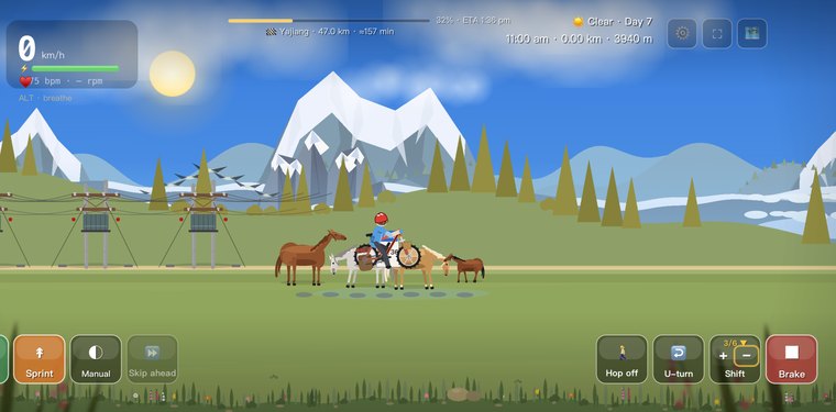
高尔寺山峠
標高4,412mの峠。晴れた日には四川最高峰の貢嘎を遠望できます。
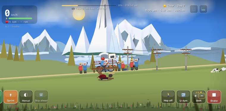
Gongga (Minya Konka)
The “King of Sichuan’s Peaks” at 7,556 m, glimpsed from Gaoersi on a clear day.
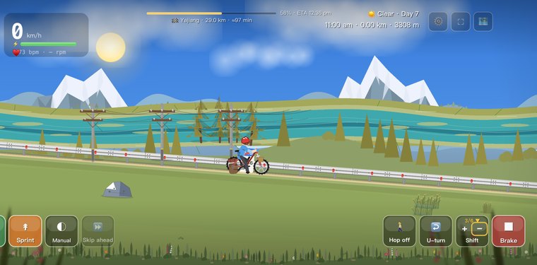
Gaoersi Descent Meadows
Rolling alpine meadows and grazing yaks line the long descent off Gaoersi Mountain.
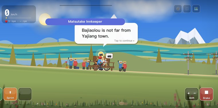
Bajiaolou Valley
A green river valley around Bajiaolou township, deep below the high pass.
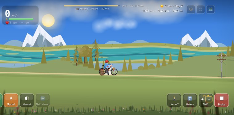
Yalong River
A powerful tributary of the Jinsha, its jade-green water cutting the gorge below Yajiang.
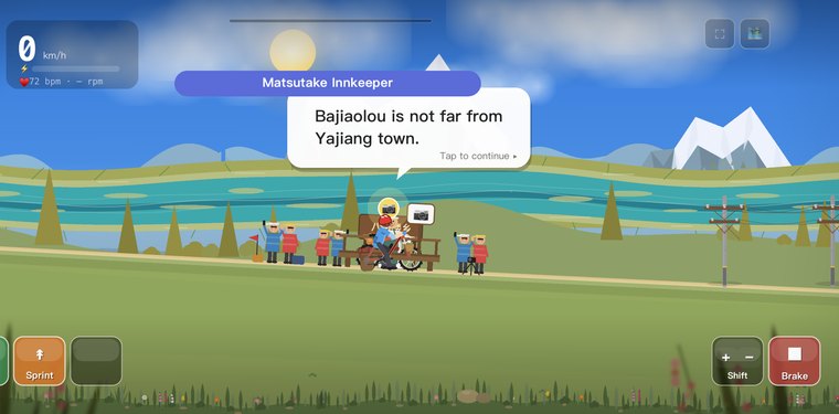
雅江
雅砻江の険しい岸壁にしがみつくように建つ小さな町。
この日のよくある質問
高爾寺山の峠の標高はどれくらいですか?
高爾寺山の峠は標高4,412mです。晴れた日には頂上から、四川の最高峰ゴンガ(ミニャ・コンカ)を望めます。
天路十八弯とは何ですか?
峠から雅砻江と、標高およそ2,640mの雅江へとうねり下る、名高いつづら折りの重なりです。ゲームでは長く曲がりくねった下りで——傾けて曲がる操作で身を傾け、カーブごとにブレーキを当てて下りましょう。
ルートからゴンガは見えますか?
はい——高爾寺山の峠は、全行程でゴンガの雪の巨峰を最もはっきり望める窓ですが、天気が味方してくれたときだけ。雲間から峰をとらえられるかは運とタイミング次第で、そのどちらもゲームはリアルタイムにシミュレートします。
あなただけの 318 を走ろう
Cycling 318 は、ラサへの道を毎日のんびり走る旅に変えます。ランドマークでチェックインして、それぞれの絵はがきを集め、あなたの 318 パスポートを満たしましょう。
App Store で入手