玉曲河 · 邦達大草原
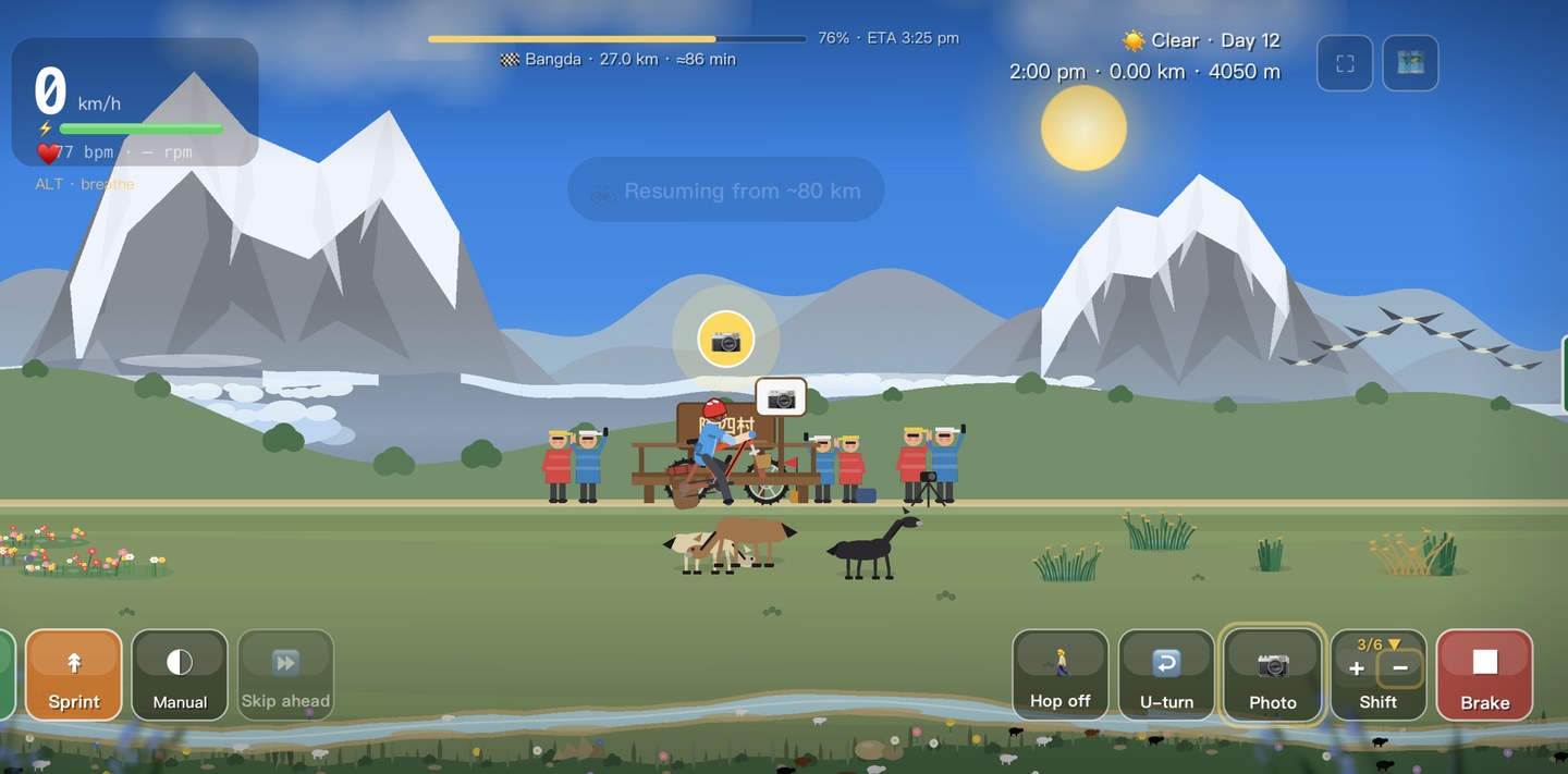
玉曲河に沿って、広大な邦達大草原へと出ます——標高4,000m超、風に削られて平らな草原は、まるで世界の頂に立っているかのよう。
この日の攻略
左貢から邦達——この区間の路面・食事・宿・装備。
路面 · 走行
A gentler day up the Yuqu River to the wide Bangda grassland (~4,300 m), home to one of the world’s highest airports. Big-sky high-plain riding with rolling gradients.
食事 · 補給
Bangda is small — basic Sichuan-Tibetan eateries and shops; a simple hot meal on the cold plateau.
宿泊
Limited but adequate guesthouses in Bangda; it’s cold and high, so layer up for the night.
装備 · 服装
Exposed grassland wind and cold nights — windproof and warm sleeping layers; the sun is fierce by day.
見どころ
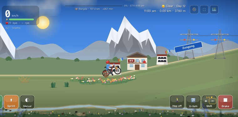
Zogong
The day's start, a small county seat where the Yuqu, Nu and Lancang rivers thread the surrounding valleys.
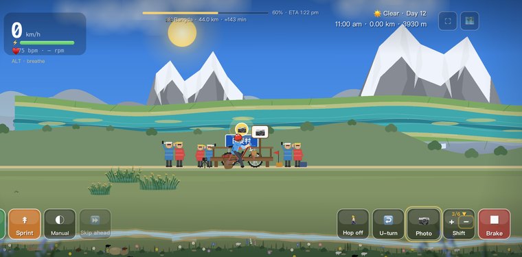
玉曲河
高原を網の目のように蛇行して流れる川。
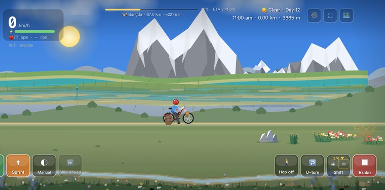
Tiantuo
A roadside town in the gentle Yuqu valley, a common lunch stop on the way to Bangda.
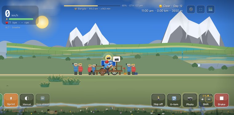
Tiantuo Yuqu River Bend
A sweeping curve of the Yuqu River below grassy slopes, a favourite photo stop.
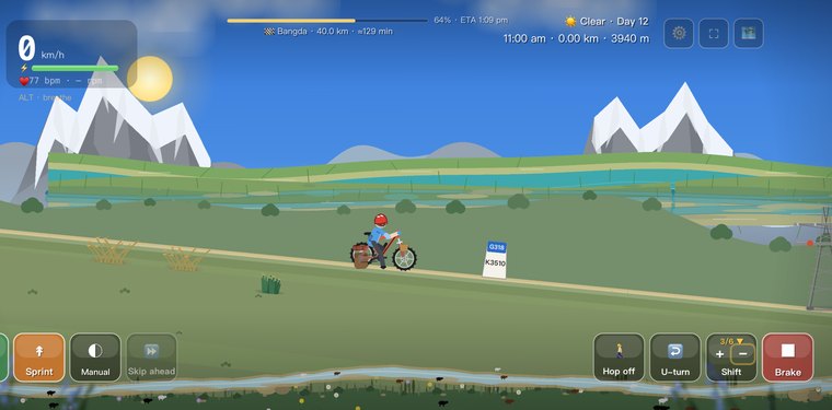
Asi Village
The last small village before the road climbs onto the open Bangda Grassland.
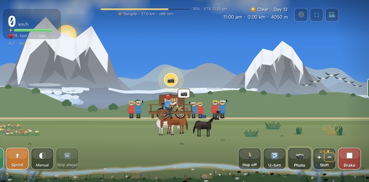
Bangda Grassland Viewpoint
A high pullout where the grassland opens flat and endless toward the horizon.
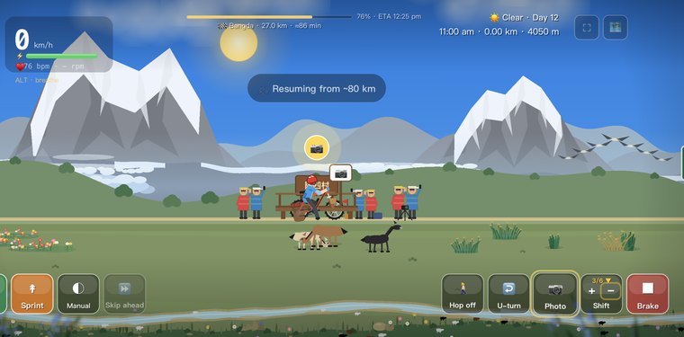
邦達草原
標高およそ4,300mの広大な高原。世界でもっとも高い飛行場のひとつがここにあります。
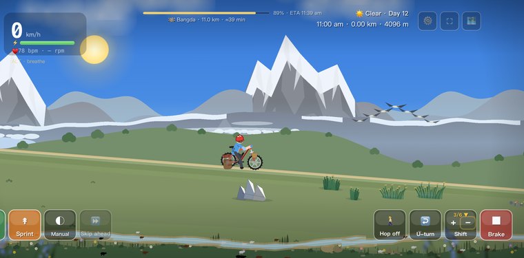
Bangda Airport
One of the world’s highest airports, out on the wind-scoured grassland.
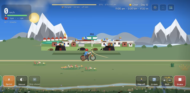
Bangda
The day's end, a windswept junction town where the G318 and G214 highways meet.
この日のよくある質問
邦達草原とは何ですか?
玉曲河沿いにたどり着く、標高4,300m近くの広大で平坦な、風に削られた高原です。世界有数の標高の空港がここにあり、世界の頂に立っているような感覚です。
12日目は比較的楽な一日ですか?
比較的、です——前日の5,130mの屋根を越えたあと、邦達草原は開けていて勾配もなだらか。楽に回し、広々とした眺めを楽しみ、72拐の前にスタミナを回復させる機会です。
草原は四季を通してどんな様子ですか?
夏は深い緑、秋は黄金に色あせ、冬は巨大な空の下で淡く削られます。ゲームでは四季が草原を着せ替えるので、同じ高原でも、いつ走るかで読み取れる印象が大きく変わります。
あなただけの 318 を走ろう
Cycling 318 は、ラサへの道を毎日のんびり走る旅に変えます。ランドマークでチェックインして、それぞれの絵はがきを集め、あなたの 318 パスポートを満たしましょう。
App Store で入手