안주라산 · 라누호
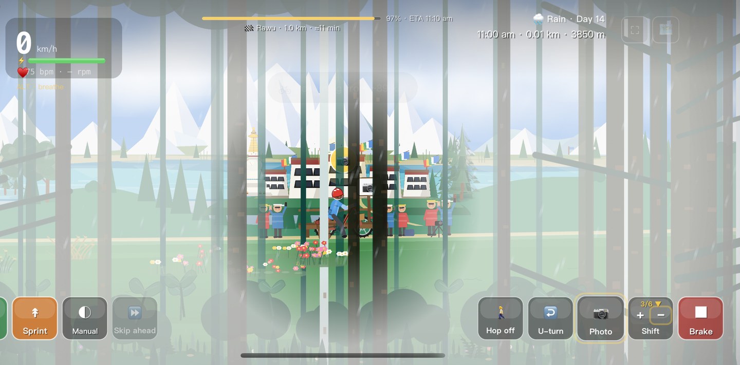
안주라산(4,468m)을 넘어 라누호로 내려갑니다 — 빙하가 빚은 청록빛 물이 길게 이어지고 설봉이 둘러선, 고원에서 가장 아름다운 호수 중 하나.
오늘의 공략
바쑤에서 라누까지 — 이 구간의 노면·식사·숙박·장비.
노면 · 라이딩
Over Anjula Pass (4,468 m), a quiet watershed, then down to the milky-turquoise Rawu Lake (~3,850 m) — one of the most beautiful spots on the whole road.
식사 · 보급
Rawu village has lakeside guesthouses serving home-style Tibetan and Sichuan food — fresh and unhurried.
숙박
Stay right by Rawu Lake for sunrise on the water and the snow peaks — guesthouses sit on the shore.
장비 · 복장
Mild lake air but cold dawns: a warm layer for sunrise. The light here rewards an early start.
명소
Baxoi
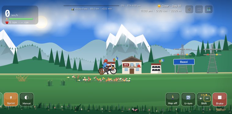
A dry canyon town at about 3,260 m where the day begins, gathering supplies before the long climb.
Leng Qu River
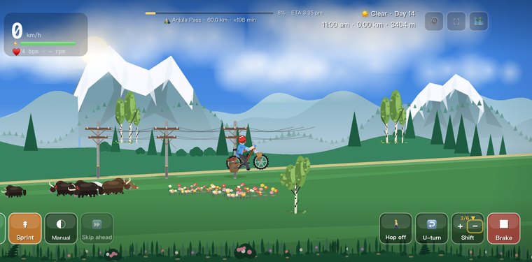
The valley river the road follows out of Baxoi, climbing gently upstream toward Anjula Pass.

Jida Township
A small Tibetan farming settlement strung along the climbing valley, barley fields below the slopes.
Anjula Meadows
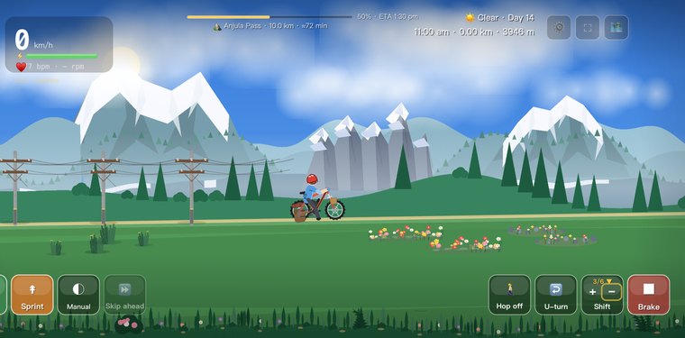
Broad alpine meadows on the windy approach to the pass, where the famous Anjula headwind blows.
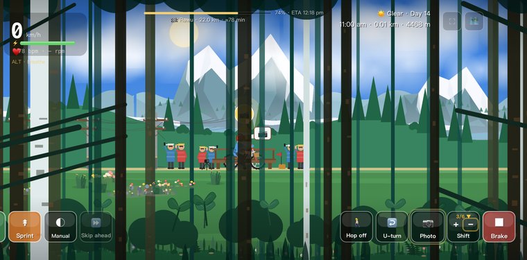
안주라산 고개
완만해 보이는 4,468m 분수령 고개 — 그 너머에 라누호의 발원 분지가 있습니다.
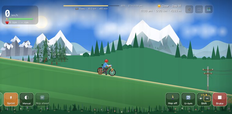
Rawu Gorge Gallery
A covered rockfall gallery shielding the road on the steep landslide-prone descent below the pass.
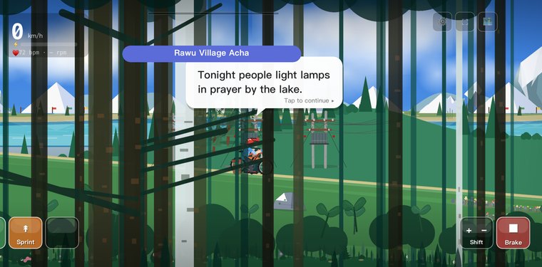
Laigu Glacier
A cluster of glaciers feeding the head of Rawu Lake — vast tongues of ice above the water.
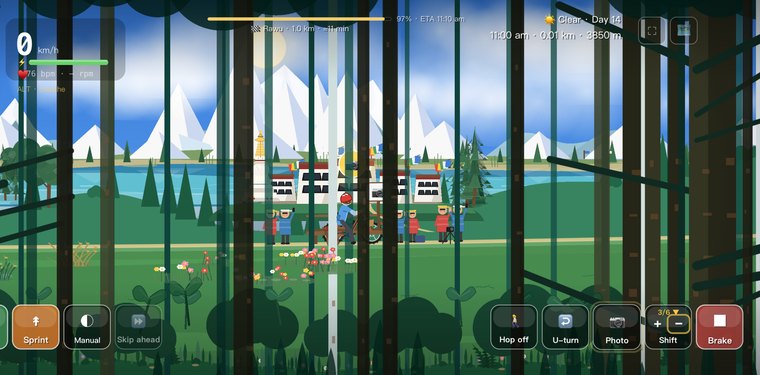
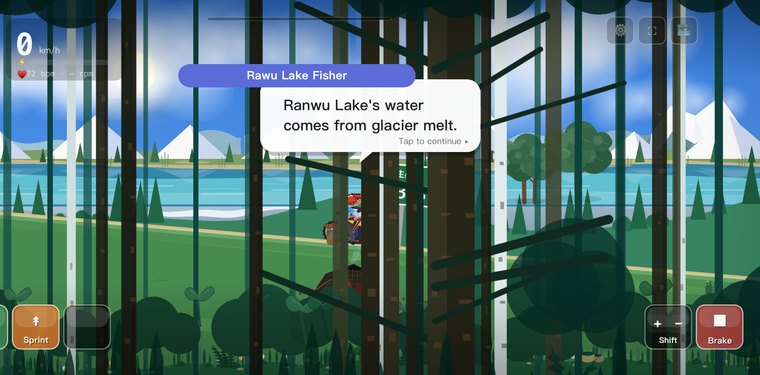
라누호
해발 약 3,960m의 빙하 언색호로, 청록빛 물에 설봉과 숲이 둘러싸여 있습니다.
Rawu Town
The day's end beside the lake near 3,960 m, one of the source lakes of the Parlung Tsangpo.
이 구간에 대한 질문
라누호는 얼마나 높나요?
라누호는 해발 약 3,960m에 자리합니다 — 빙하수로 이루어진 길고 청록빛인 강줄기가 설봉과 숲에 둘러싸여 있고, 4,468m의 안주라산 고개를 넘으면 닿아요. 고원에서 가장 아름다운 호수 중 하나죠.
라누호는 왜 청록빛인가요?
고운 암석 가루를 머금은 빙하 융해수가 채워 주는데, 그 가루가 빛을 흩뜨려 젖빛 청록을 만들어 내죠. 게임에서 이 호수는 체크인 전망대라, 더없이 좋은 엽서 정거장이에요.
열넷째 날은 타기에 어떤가요?
안주라산을 완만히 넘은 뒤 호숫가로 부드럽게 내려가는 길이에요 — 72구비의 극적인 흐름 뒤에 찾아오는, 더 차분하고 풍경이 좋은 날이죠. 이곳은 아침 빛이 일품이고, 물의 모습도 날씨에 따라 변해요.
나만의 318을 달려보세요
Cycling 318은 라싸로 가는 길을 매일 즐기는 아늑한 라이딩으로 바꿔줍니다. 명소에서 체크인하고, 각 장소의 엽서를 모아 나만의 318 여권을 채워보세요.
App Store에서 다운로드